

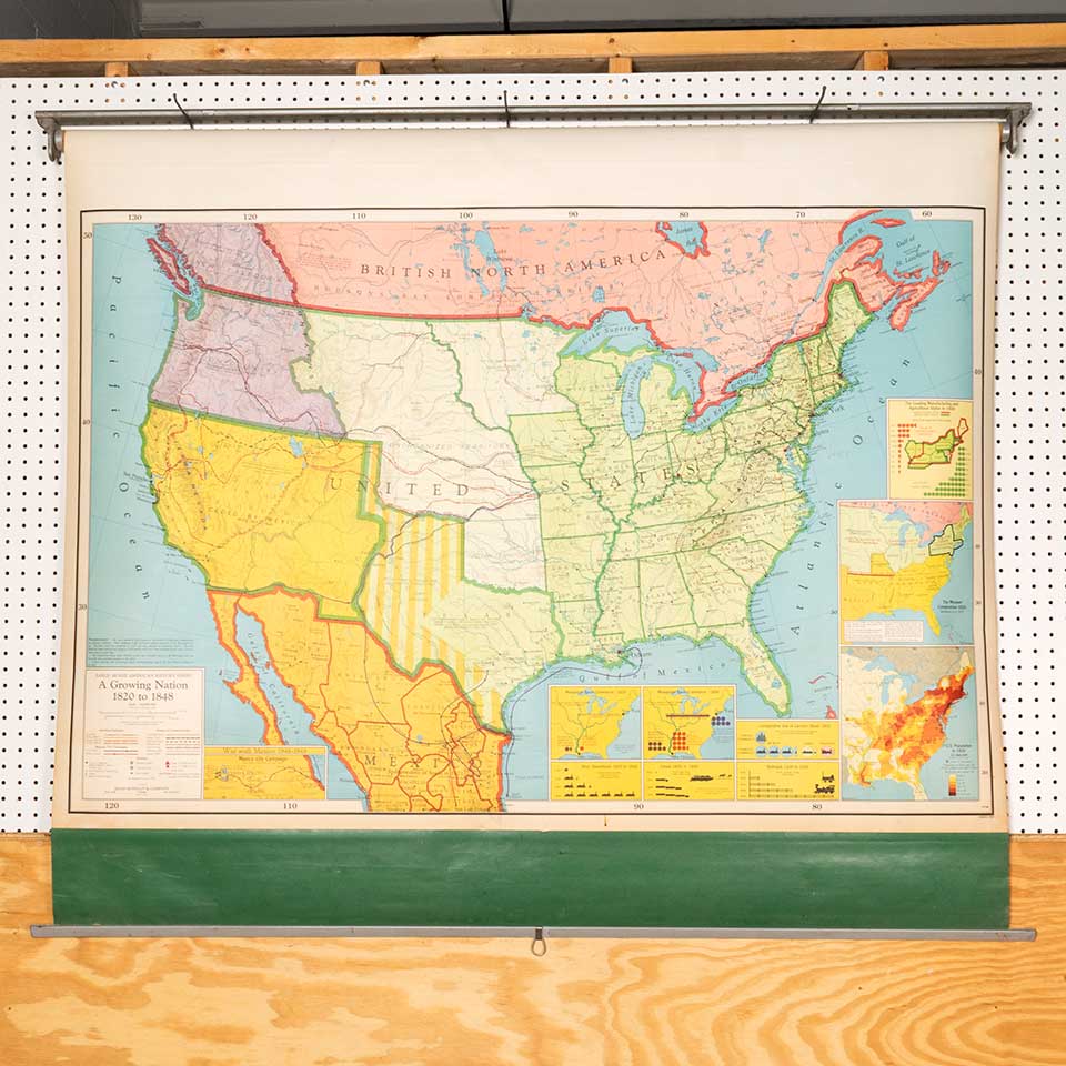


Vintage school classroom pull-down map of the United States, A Growing Nation 1820 to 1848. This map was published by Rand McNally & Company of Chicago and measures approx. 62" wide x 47 1/4" tall x 3 1/4" front to back. See photos to evaluate condition.
Item #: 53279 $175 Qty: 1
Vintage school classroom pull-down map of the United States, A Growing Nation 1820 to 1848. This map was published by Rand McNally & Company of Chicago and measures approx. 62" wide x 47 1/4" tall x 3 1/4" front to back. See photos to evaluate condition.
Item #: 53279 $175 Qty: 1